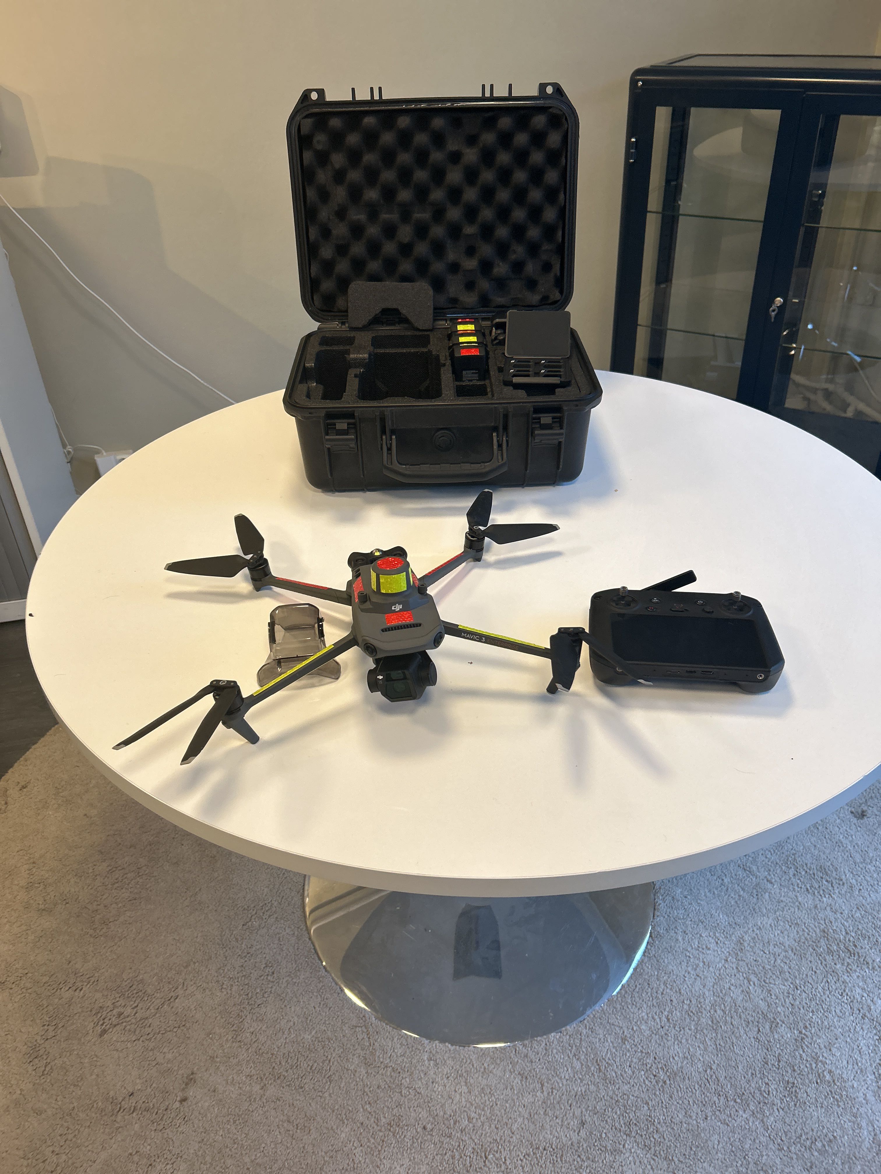
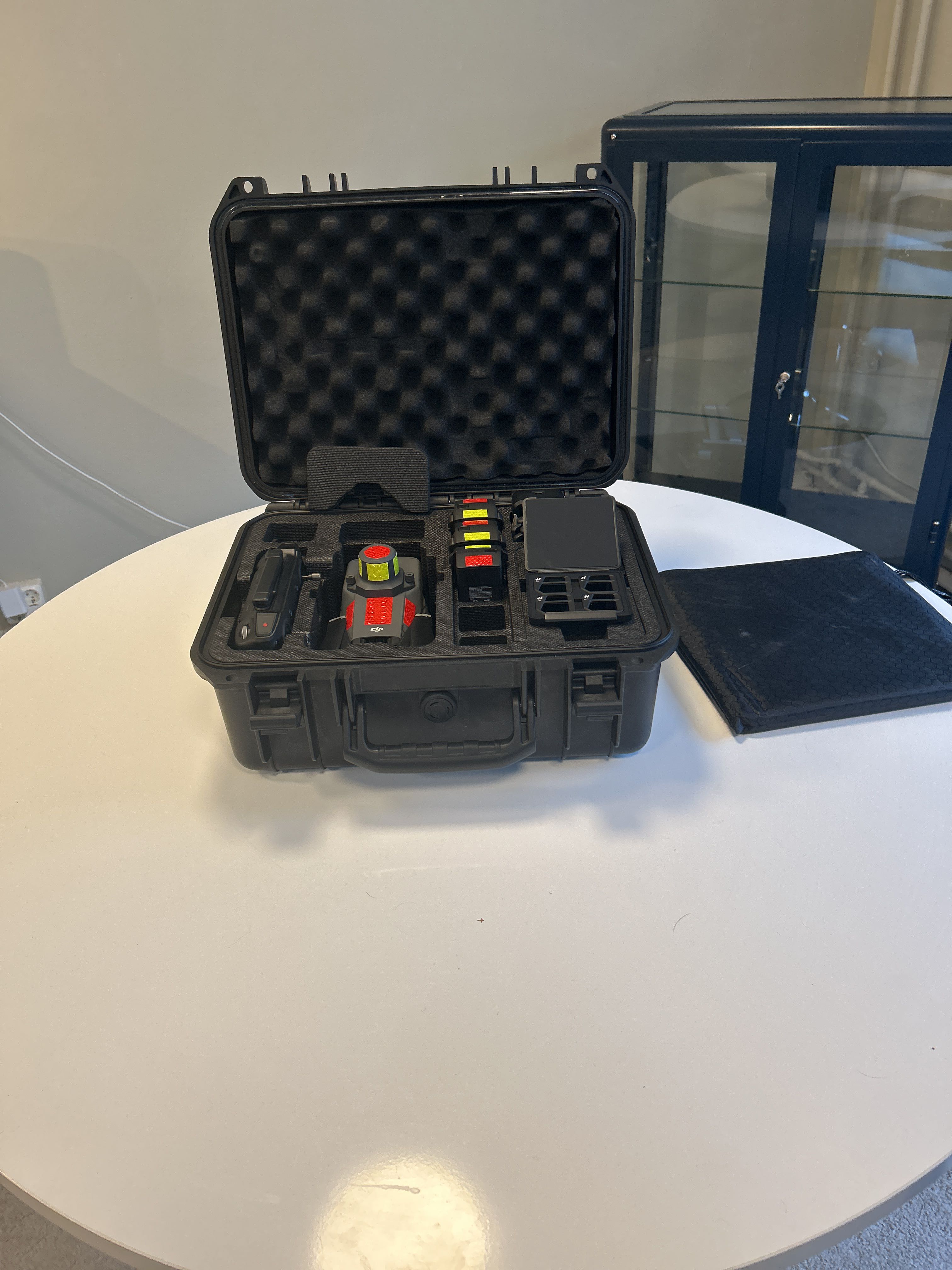
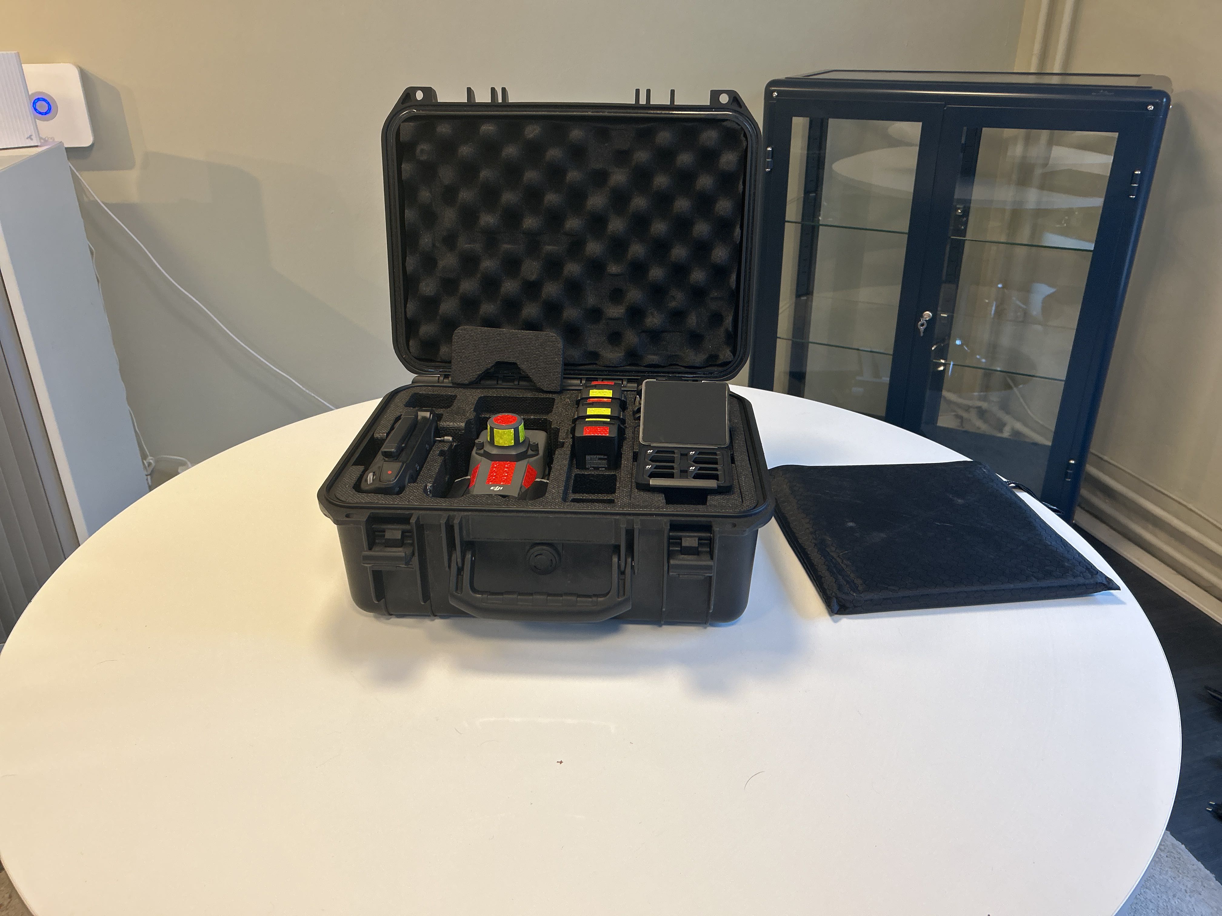
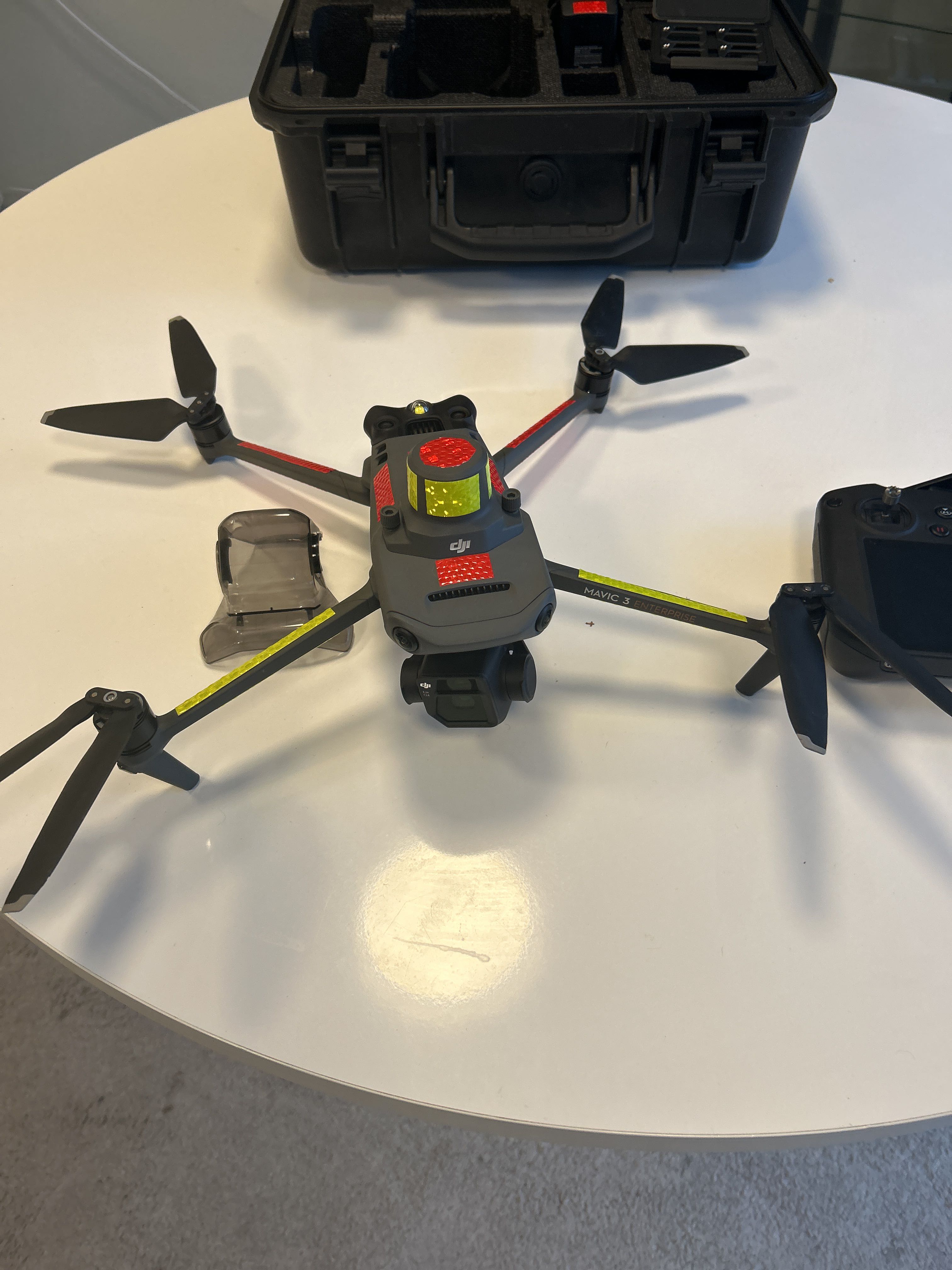
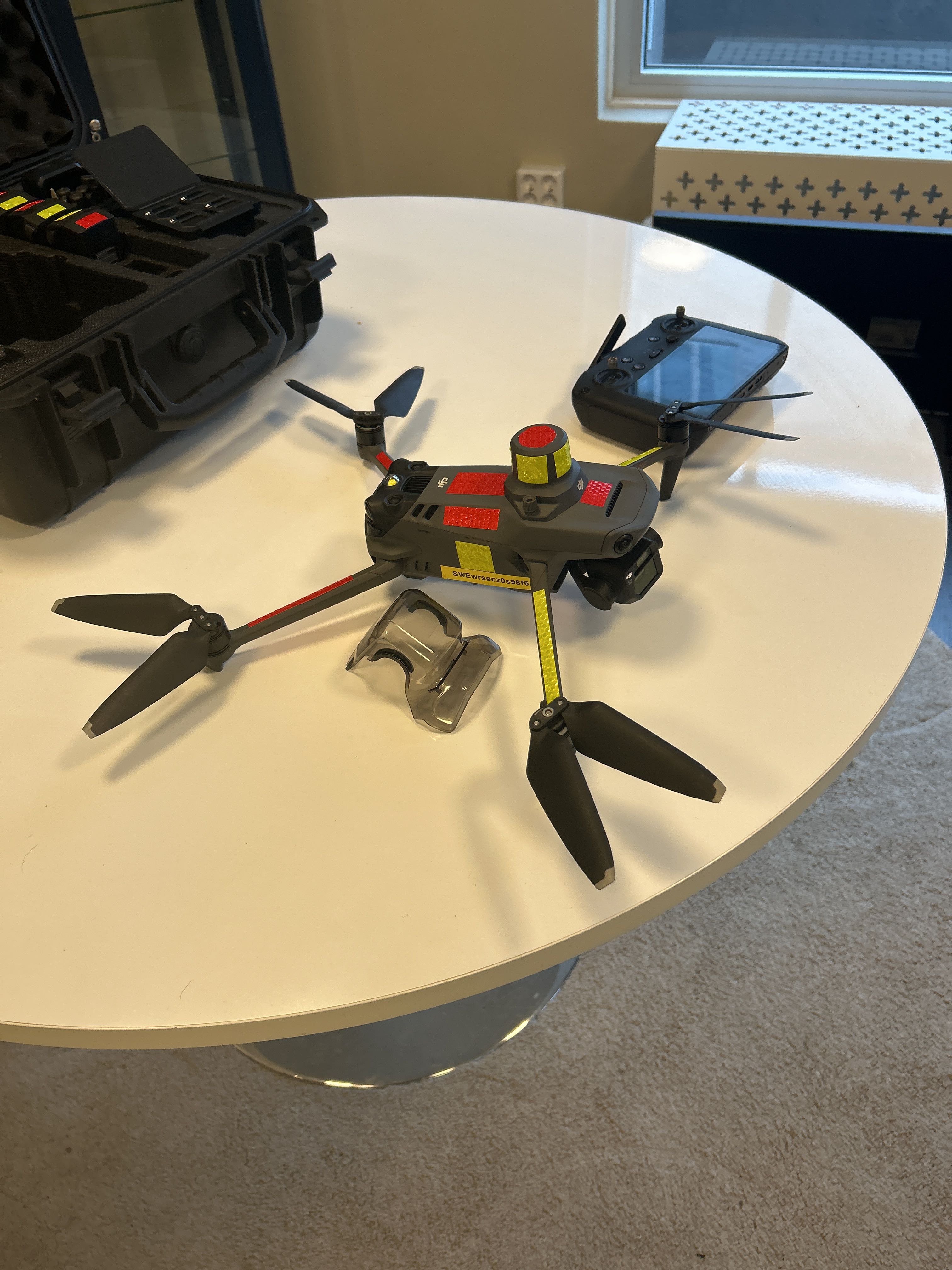
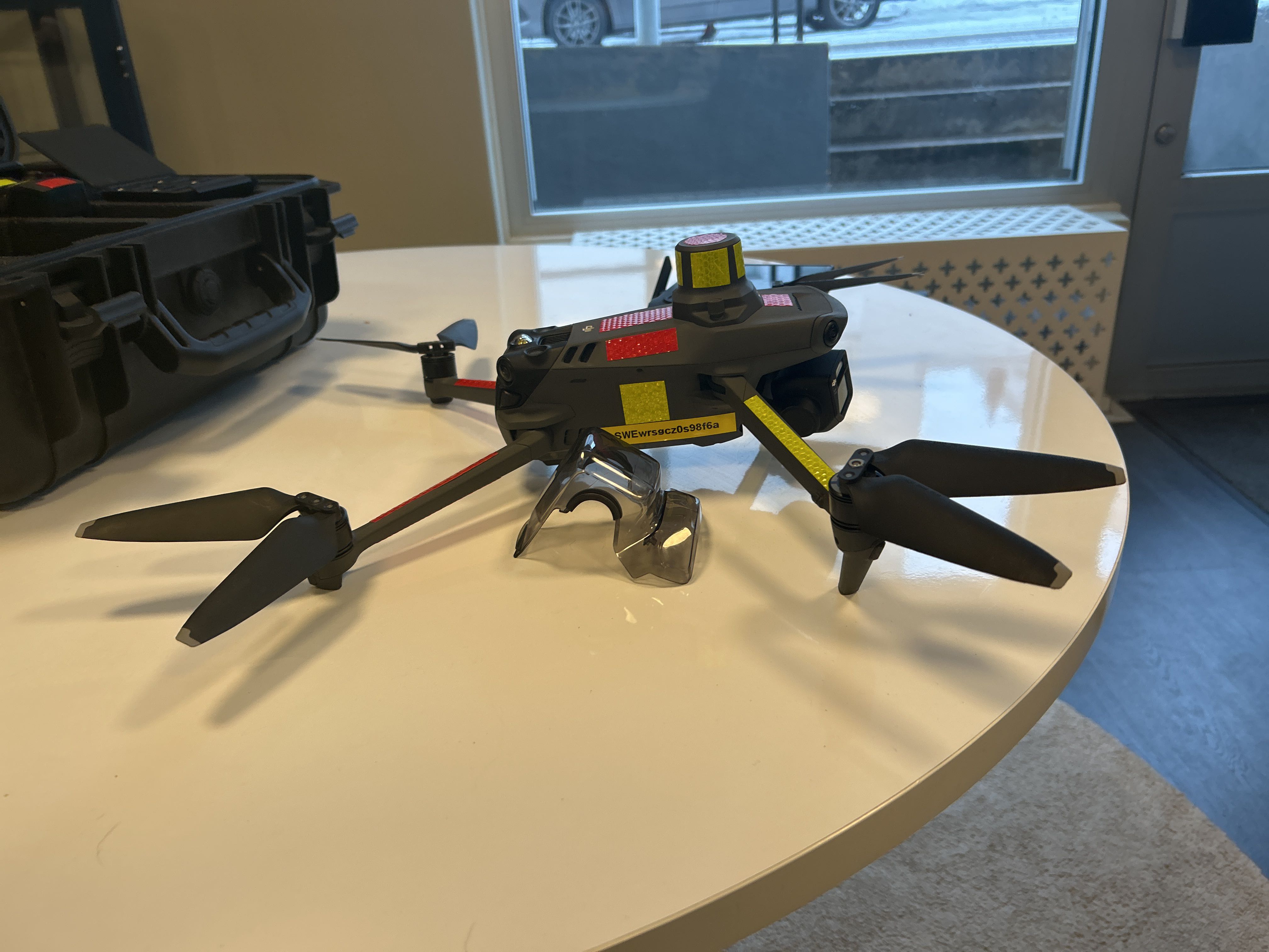
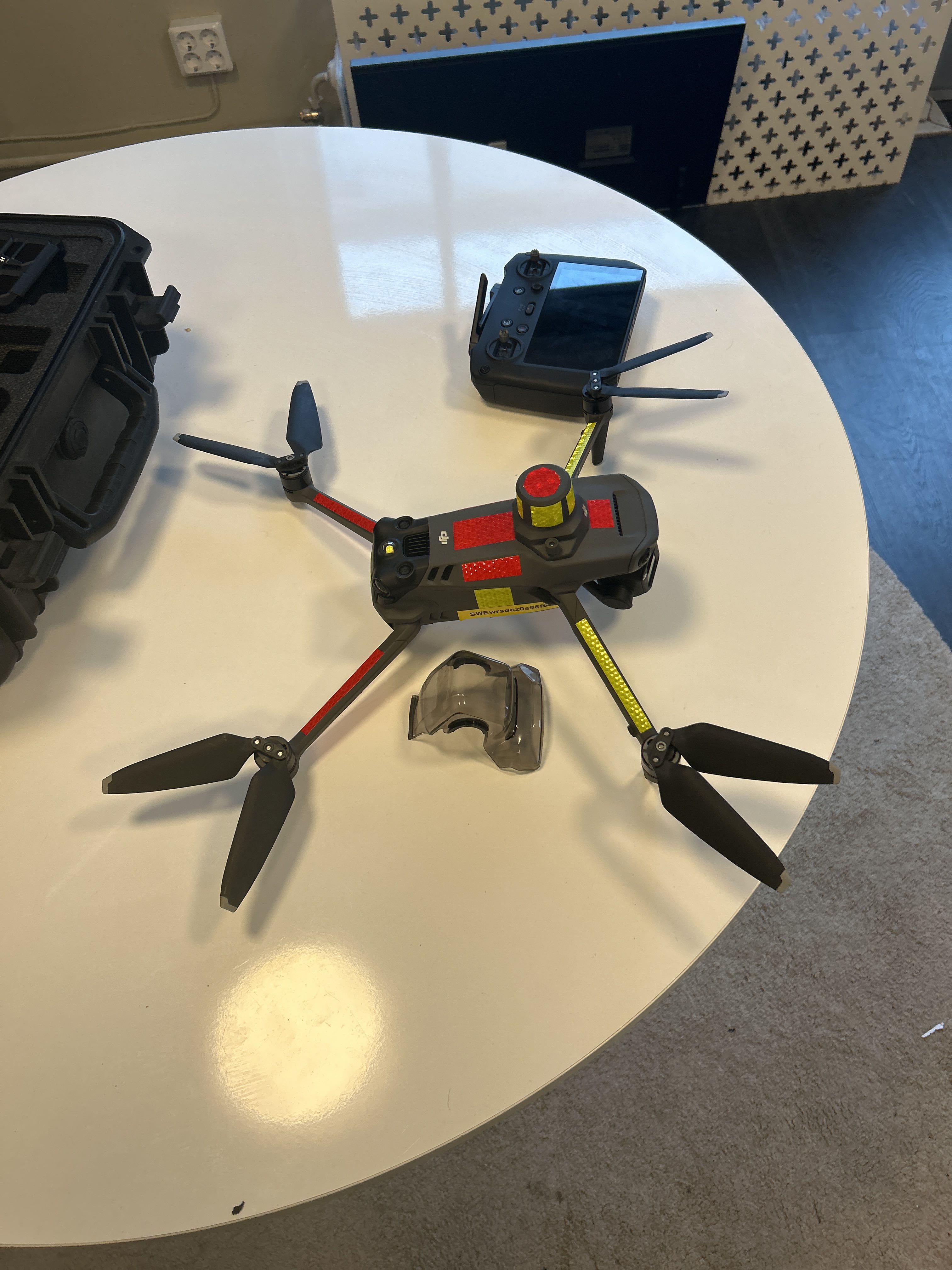
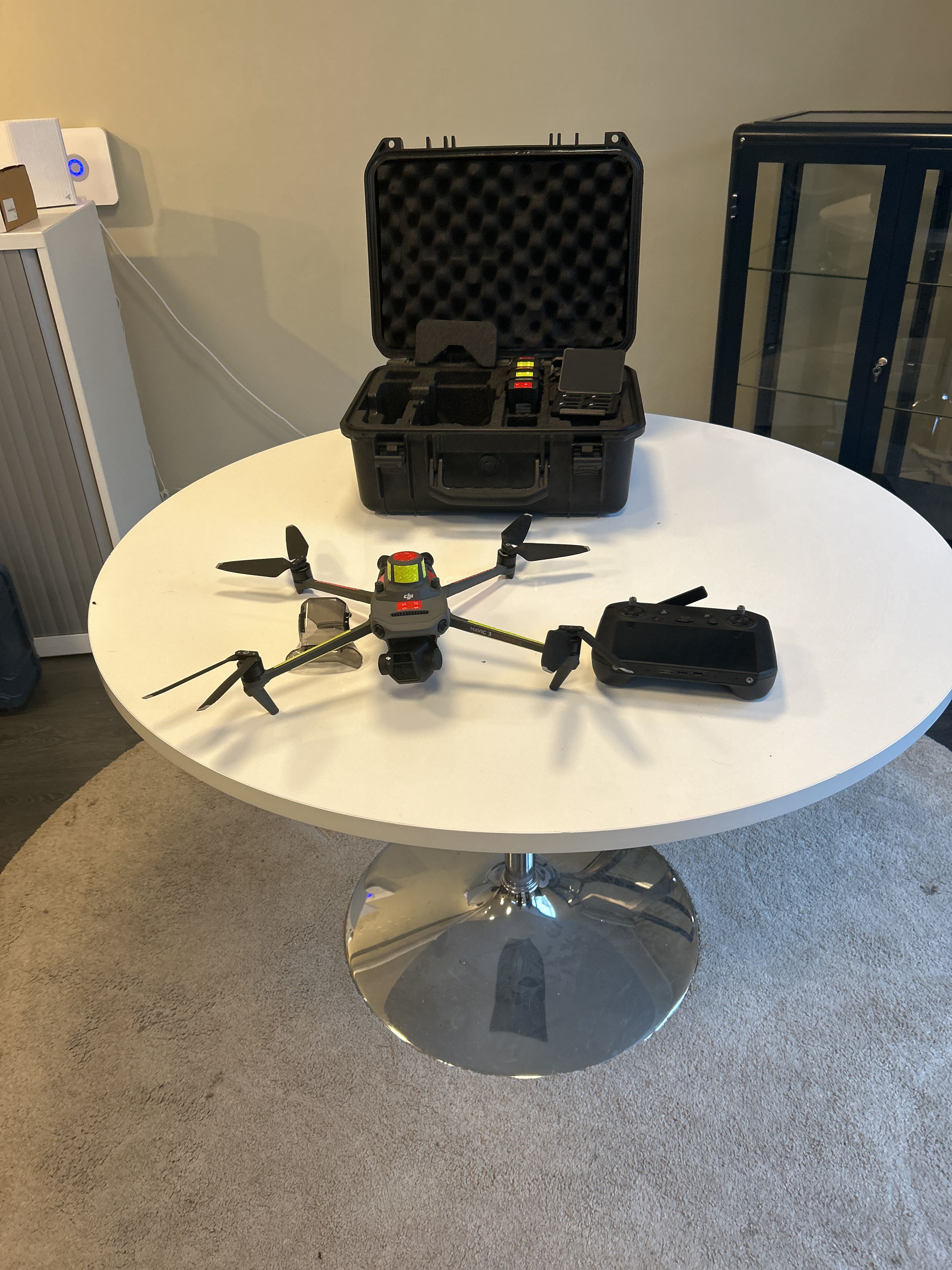

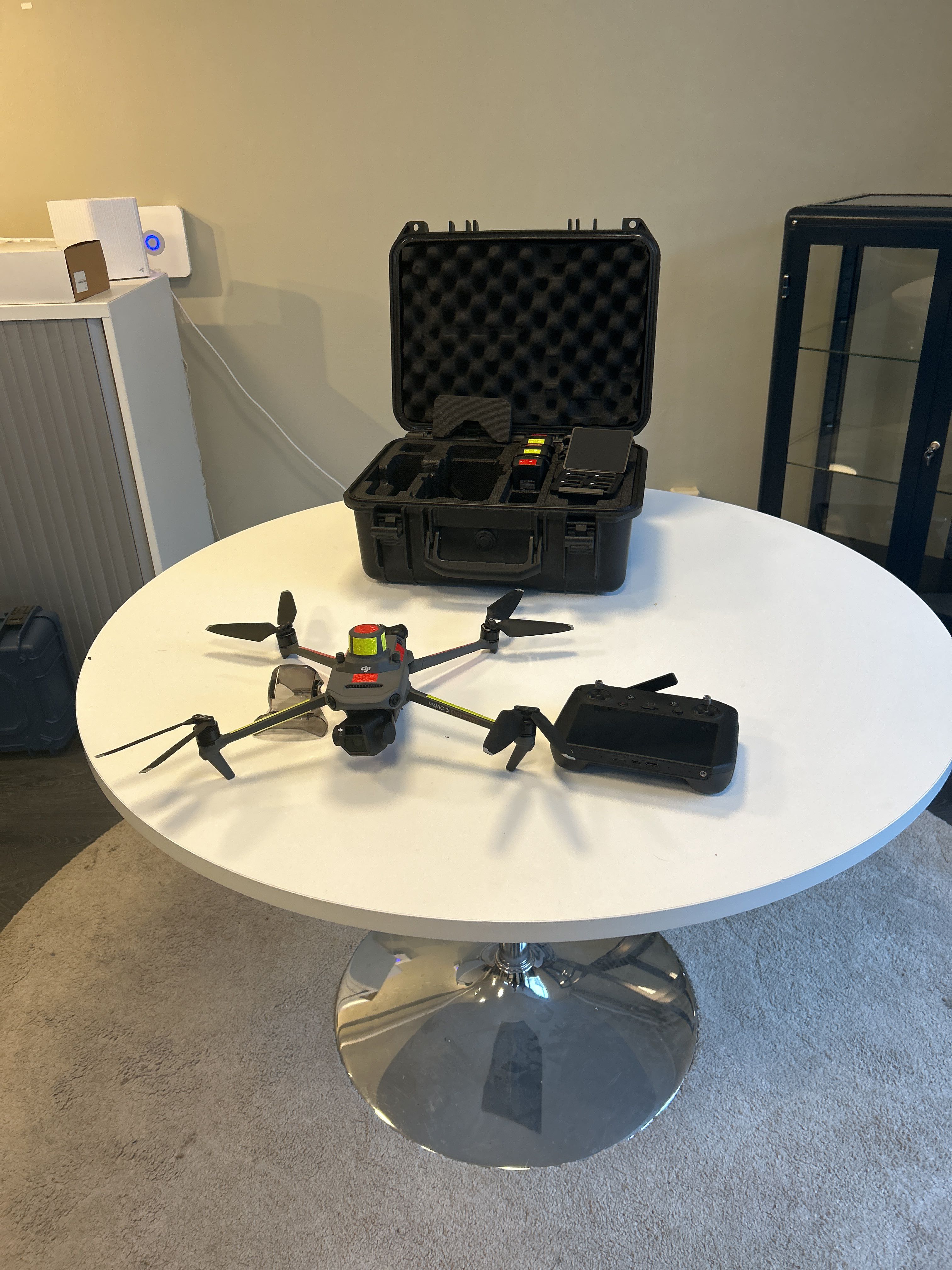
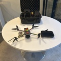
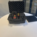
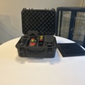
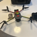

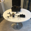

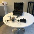
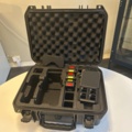


DJI Mavic 3 Enterprise (Mavic 3E) – complete surveying and photogrammetry package incl. GNSS
- DJI Mavic 3 Enterprise (3E)
- RTK/GNSS module
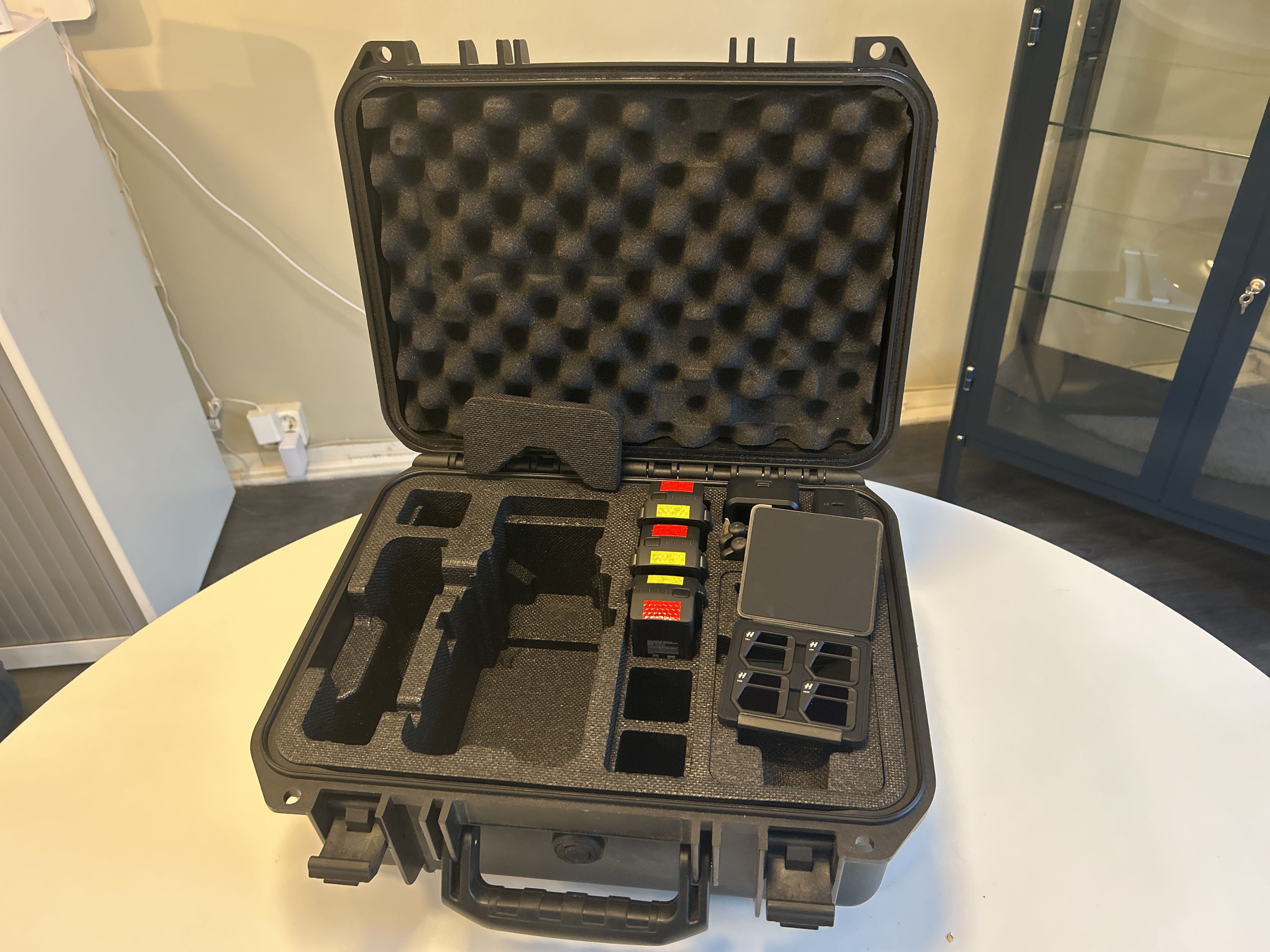
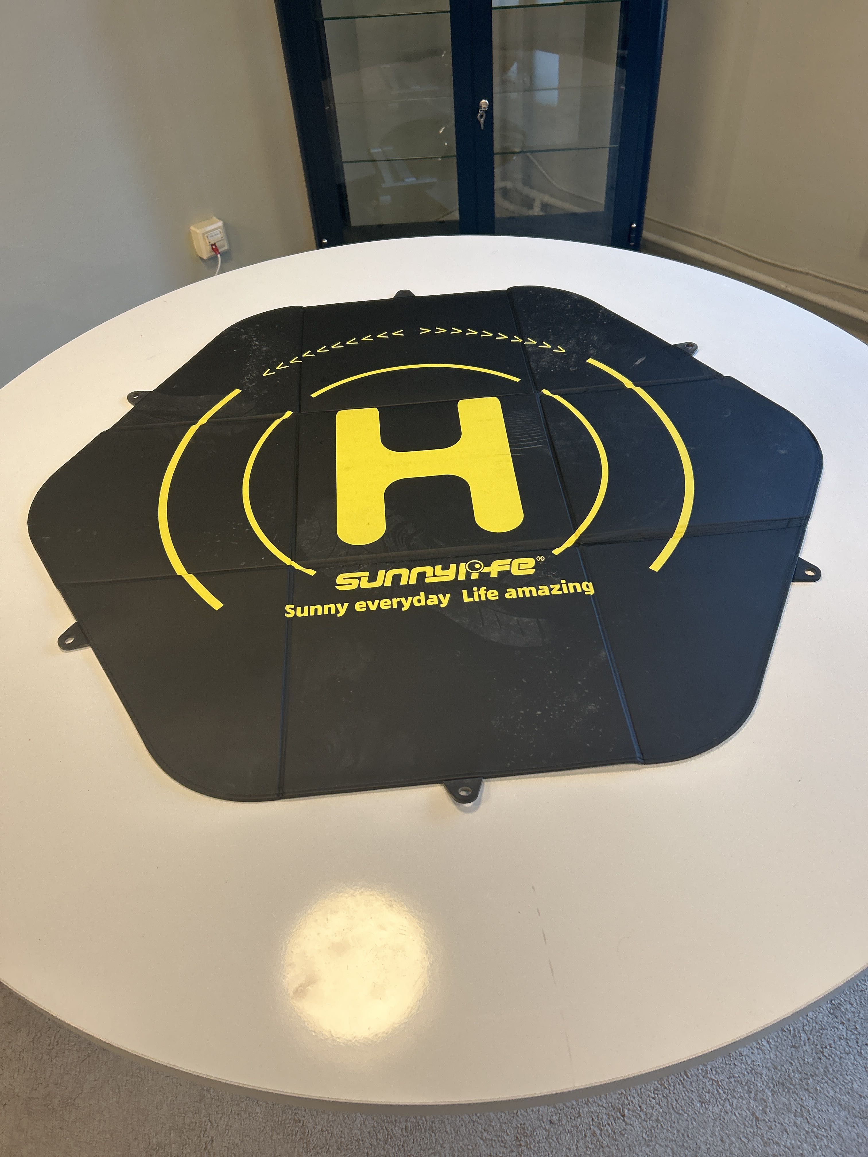
- Fly More Kit
- Landing pad
- ND filters (4 pcs)
- SD card
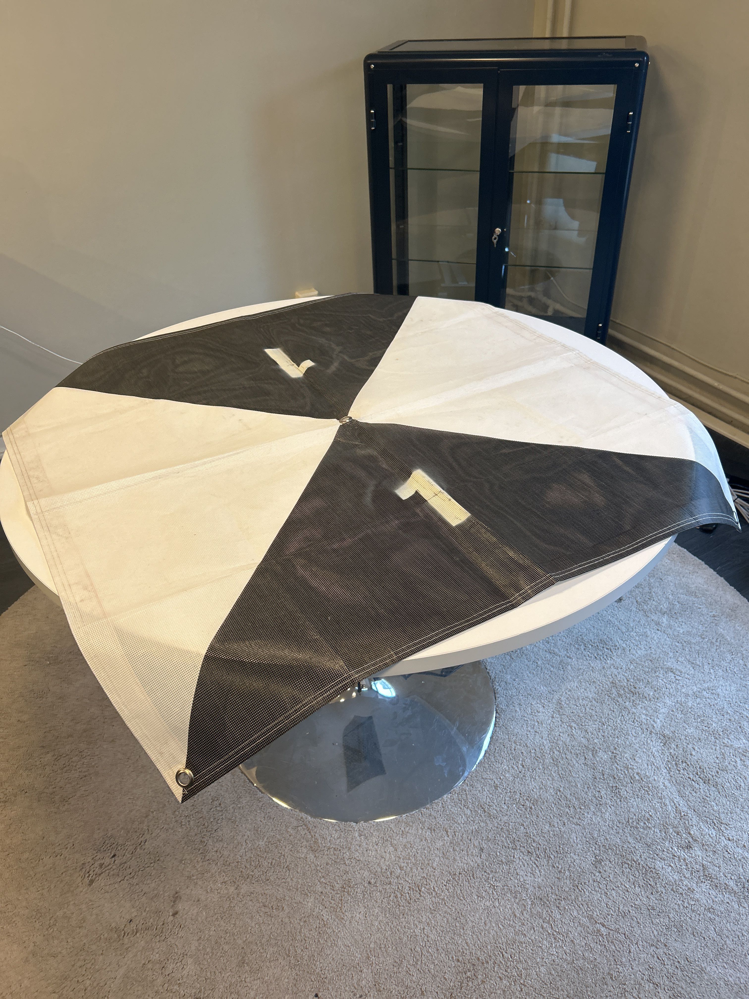
- 6 soft measuring targets 100 × 100 cm
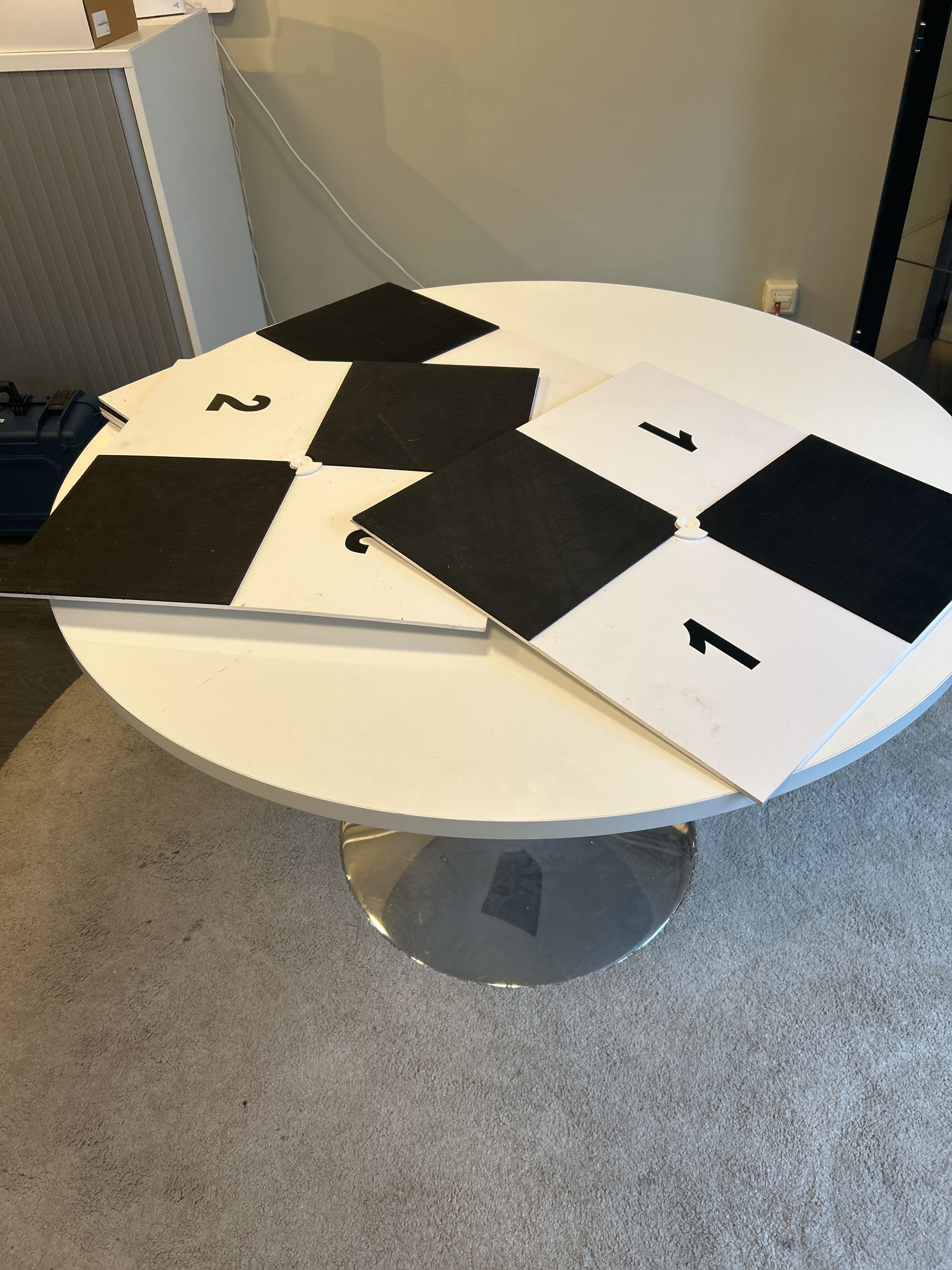
- 6 hard measuring targets 50 × 50 cm
Features & performance
- Mechanical shutter – especially suitable for photogrammetry
- RTK/GNSS support for improved position accuracy
- Enterprise platform for professional use
- High image quality and stable flight
- Suitable for measurement, mapping and construction documentation
Areas of application
- Photogrammetry
- GNSS/RTK-based surveying
- Survey
- Construction & civil engineering
- Documentation